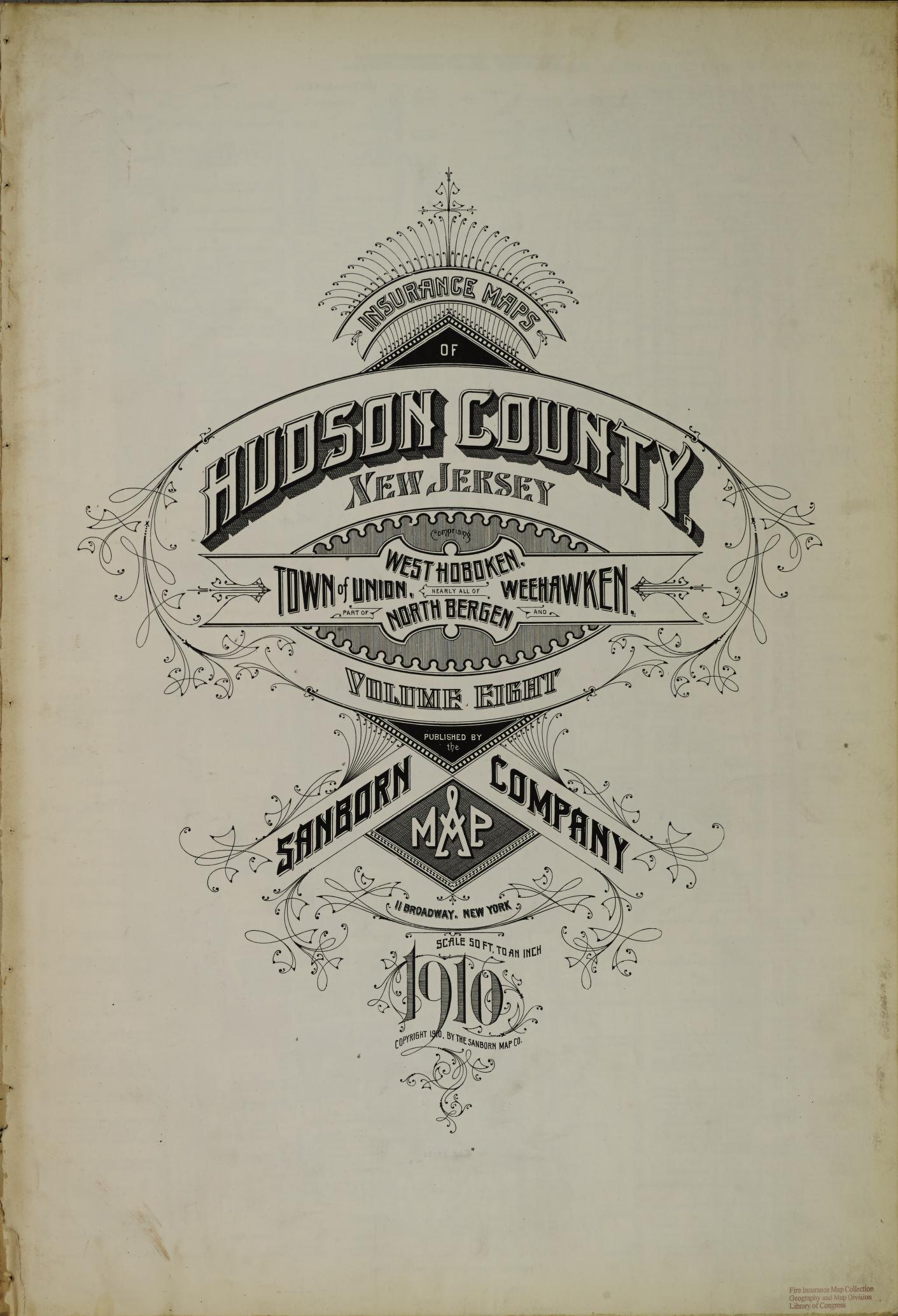
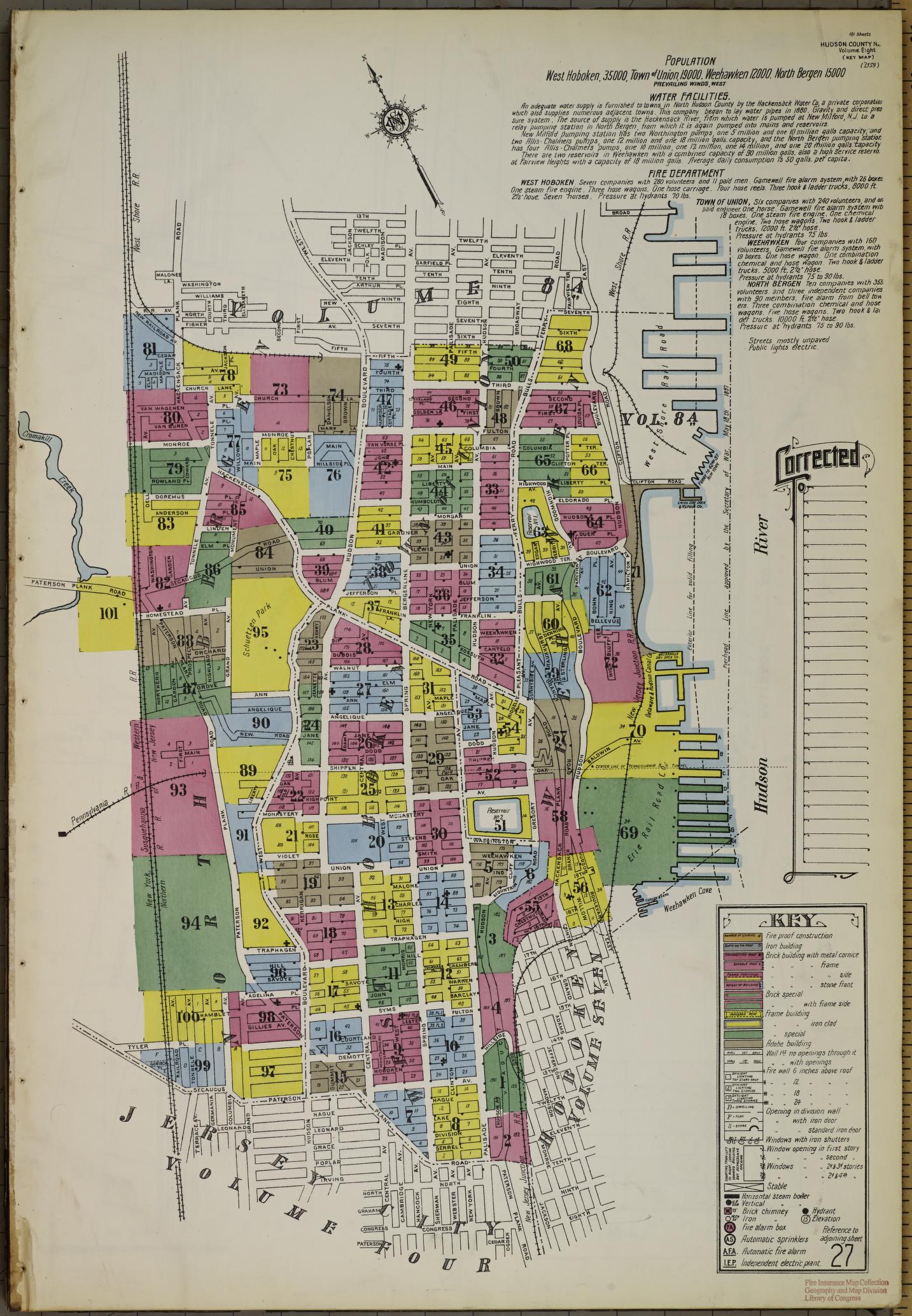
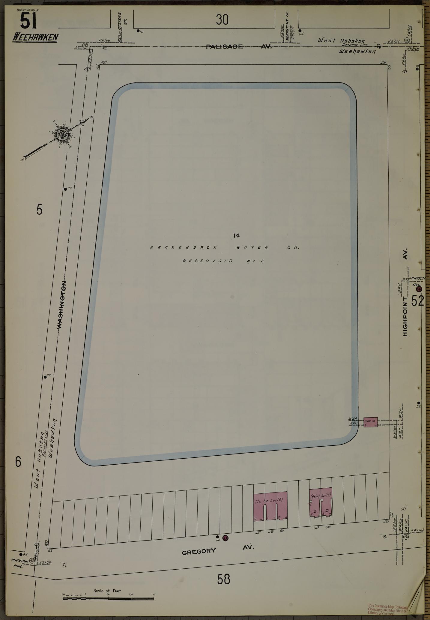
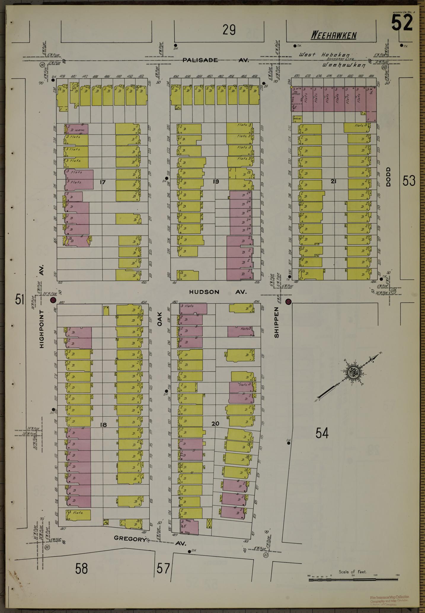
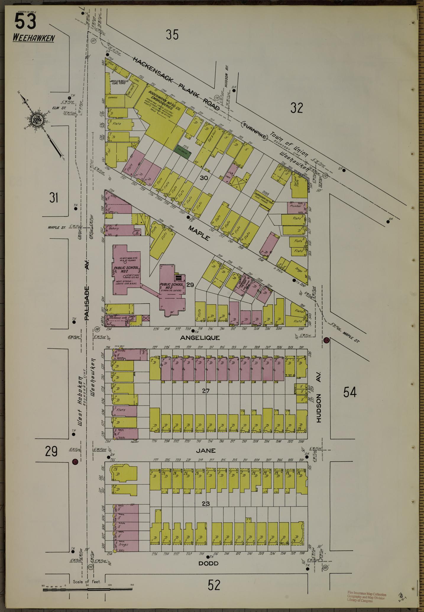
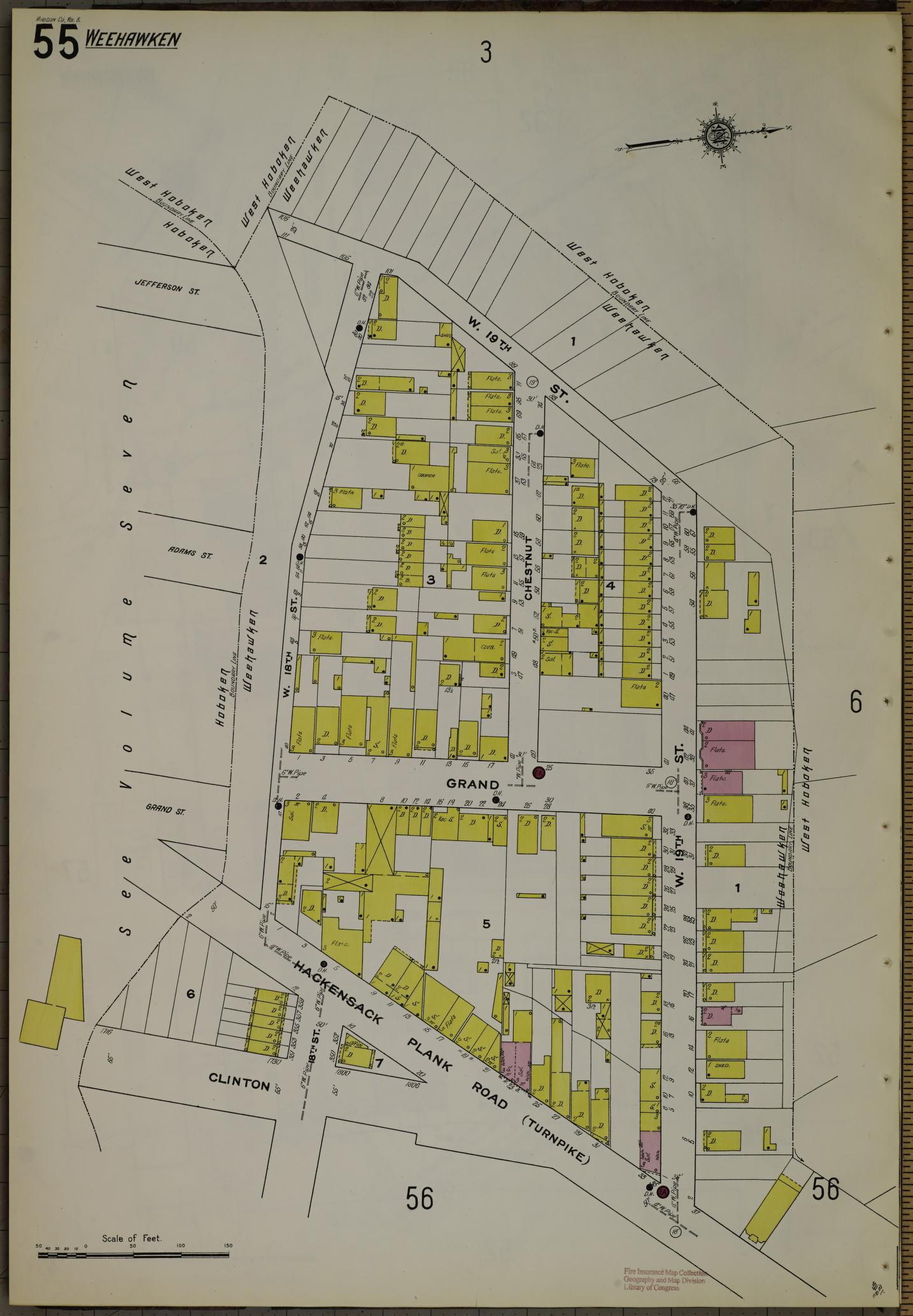
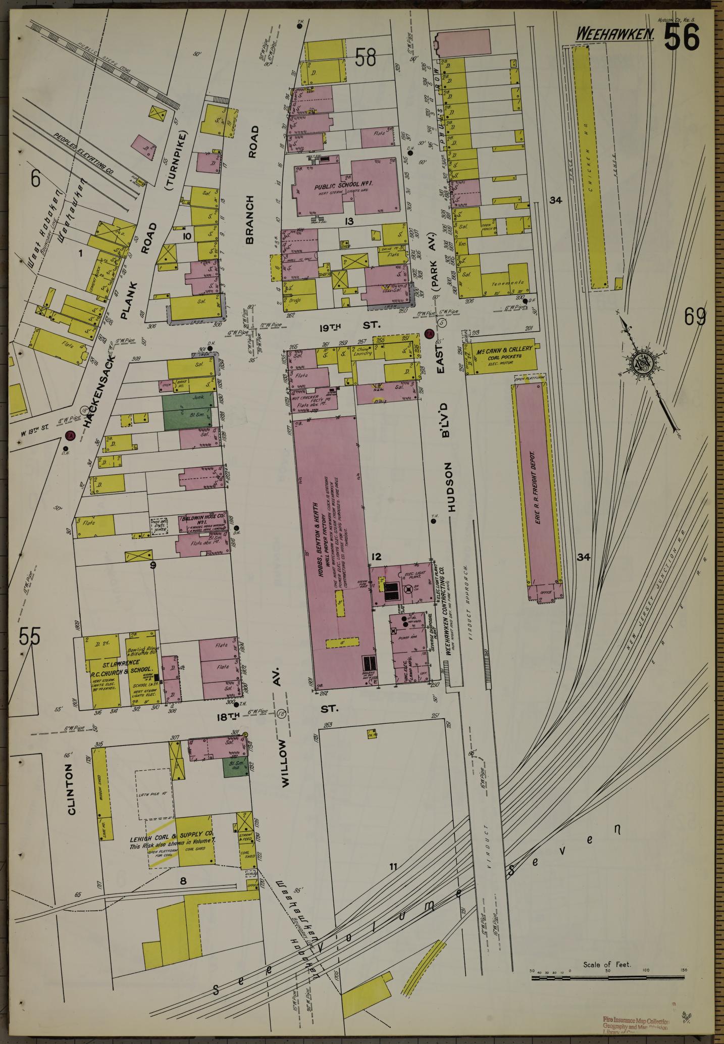
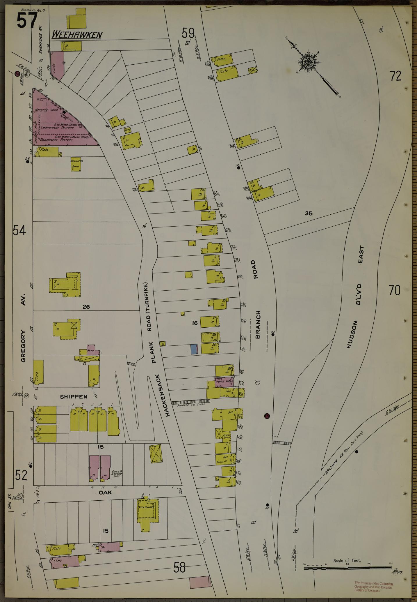
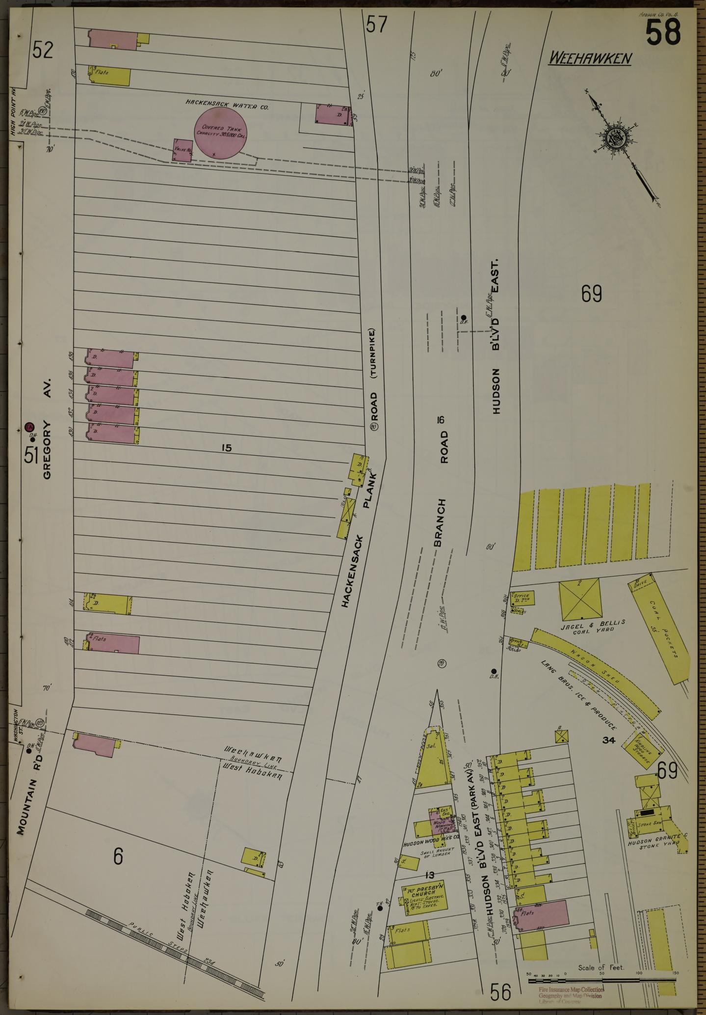
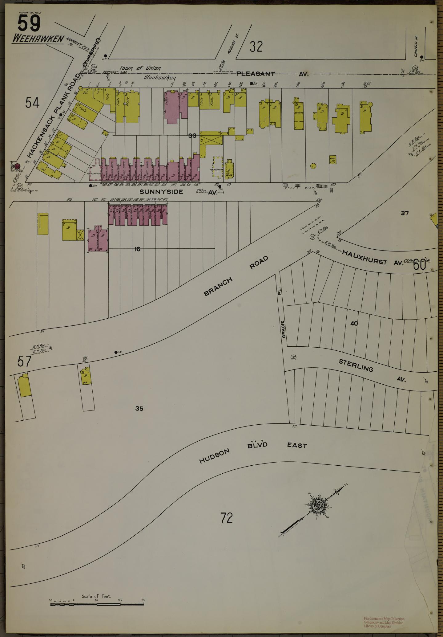
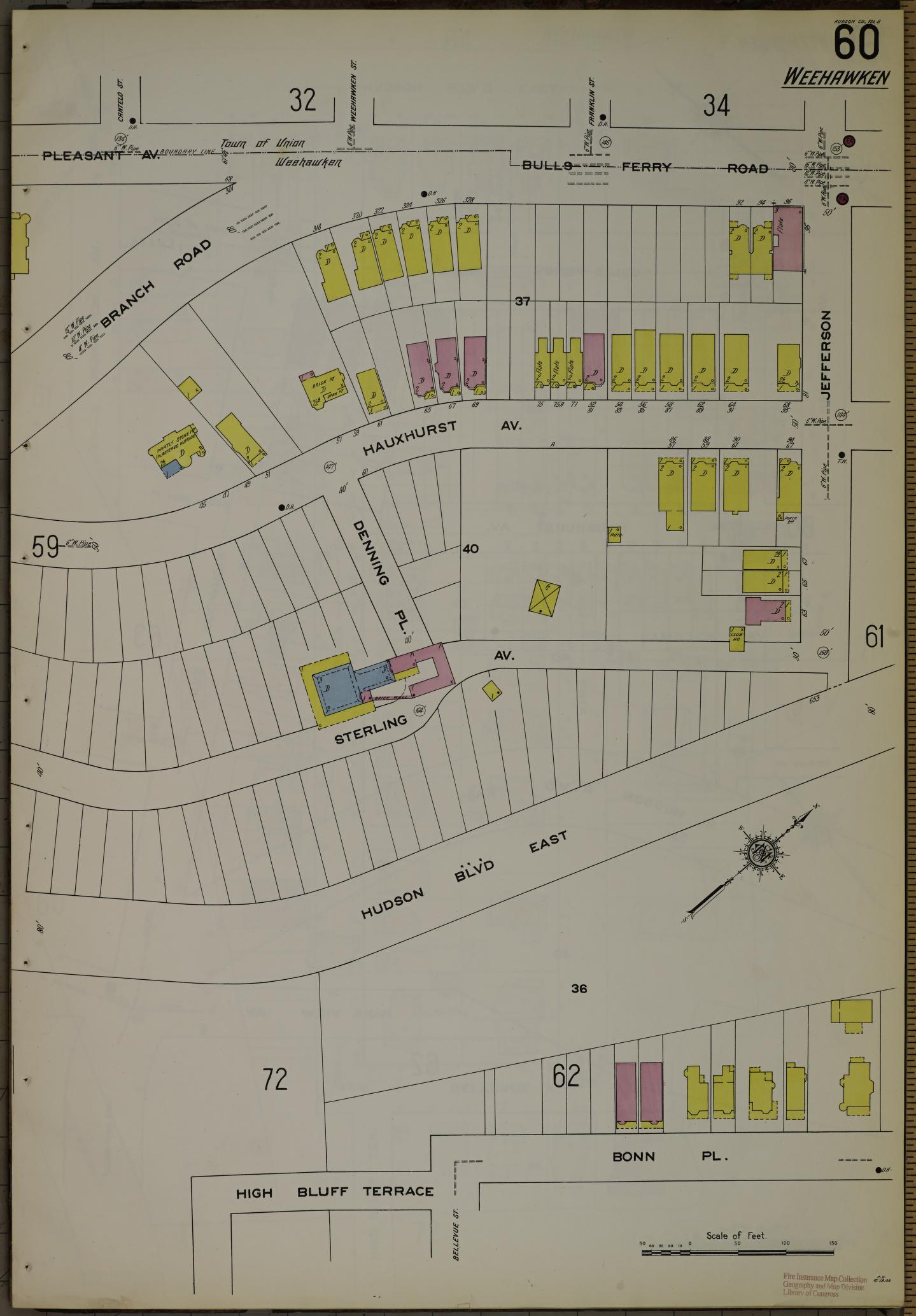
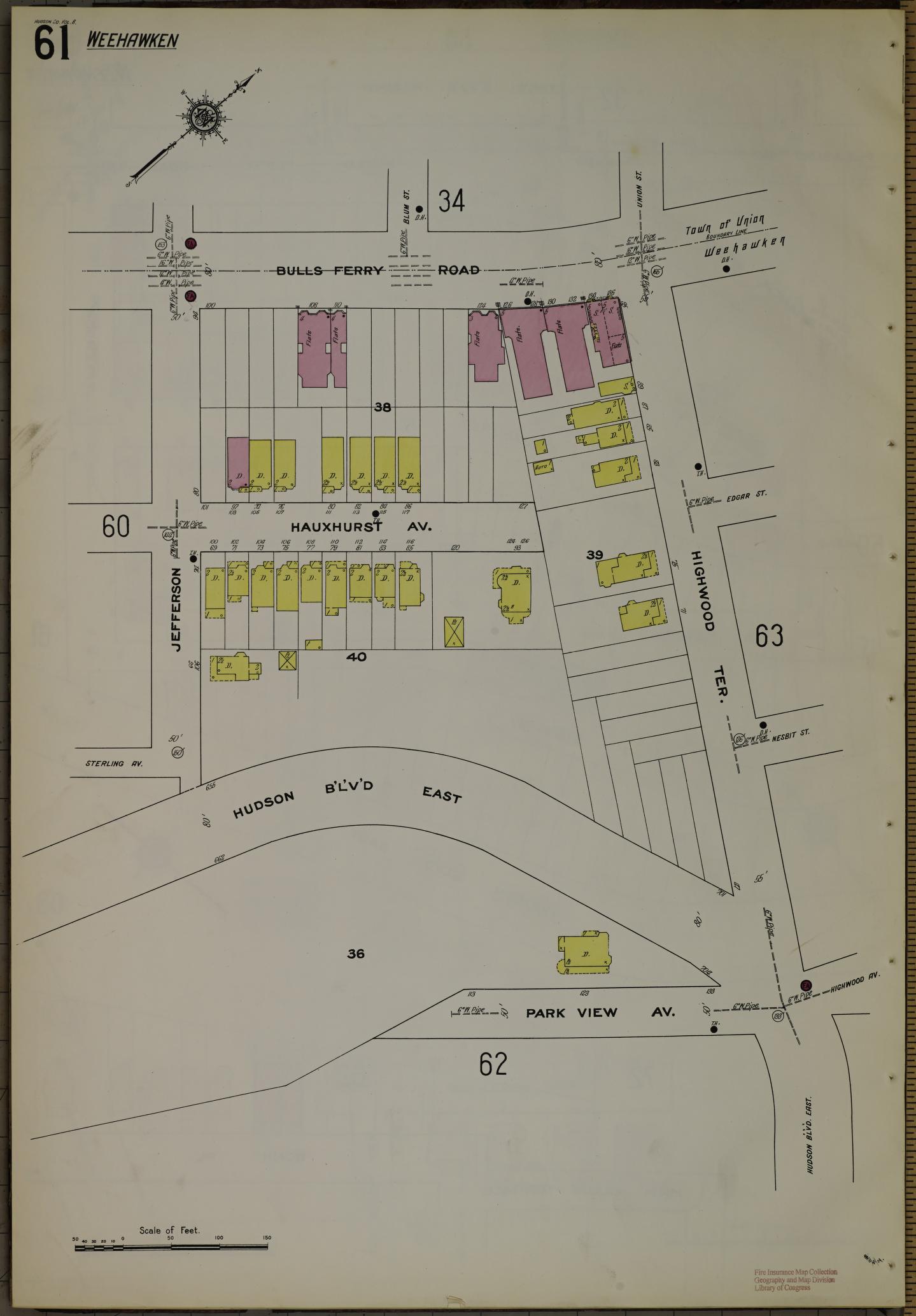
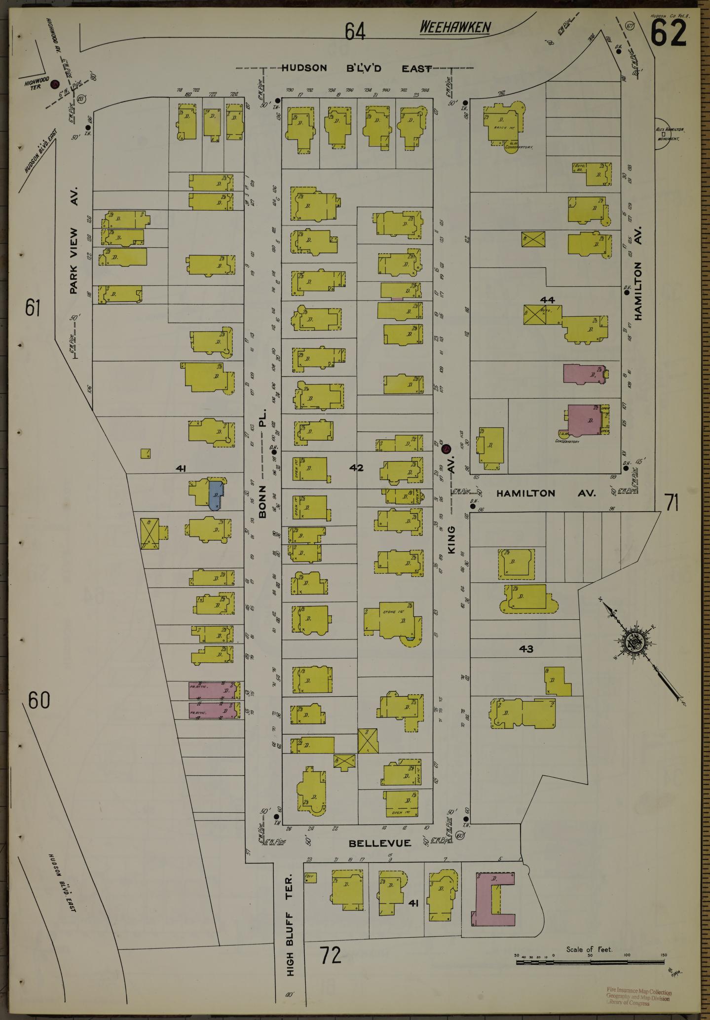
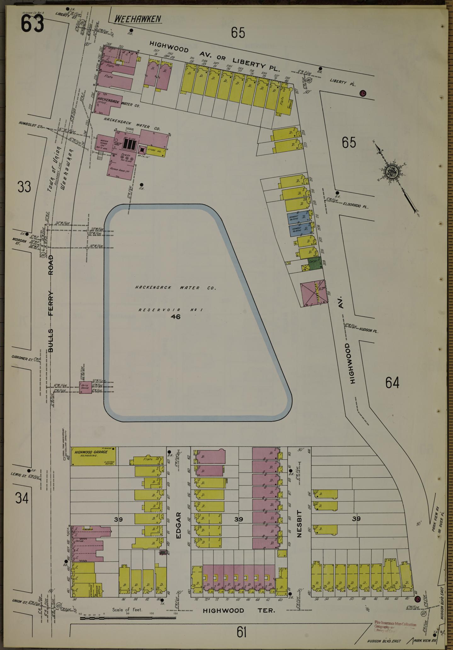
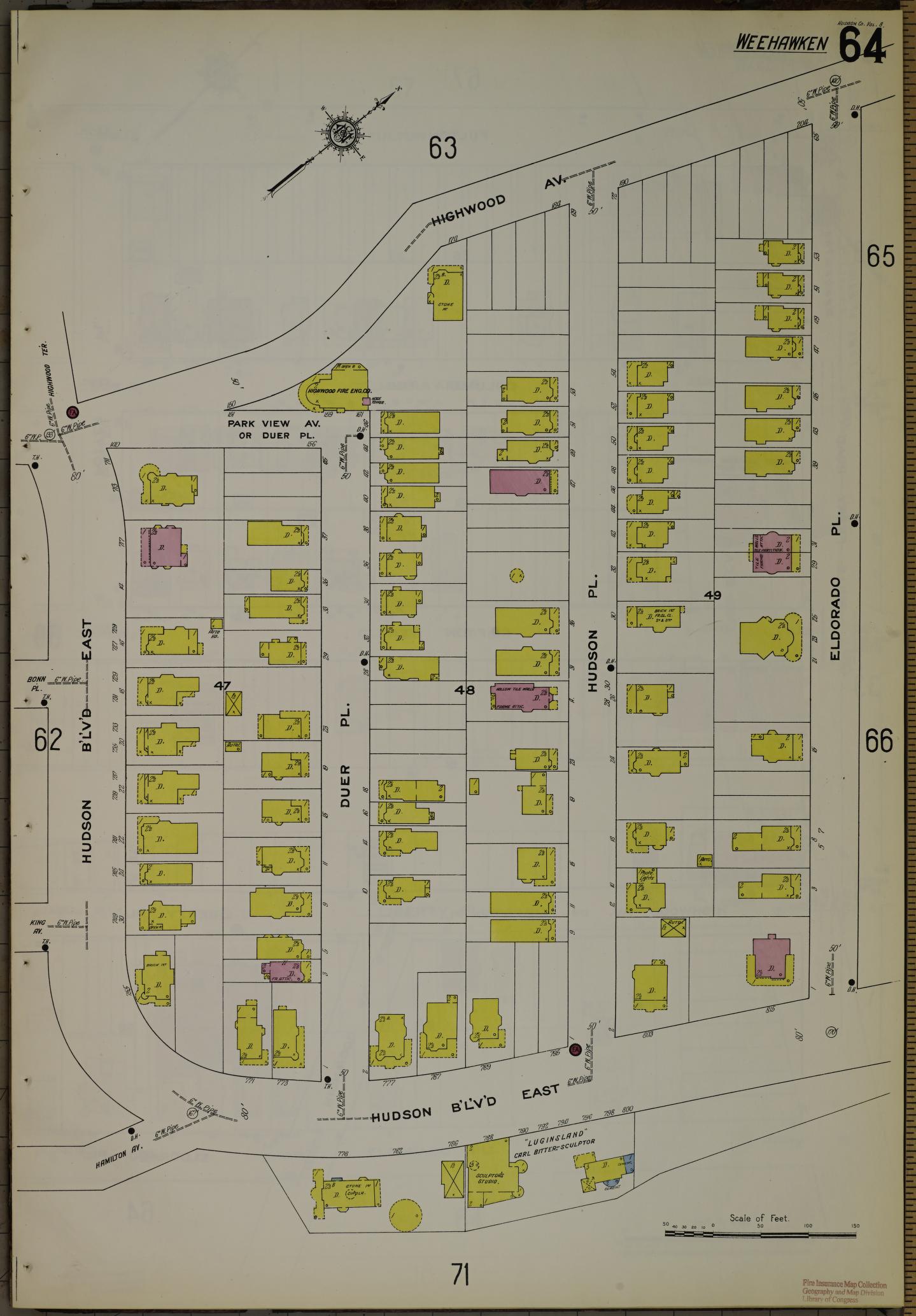
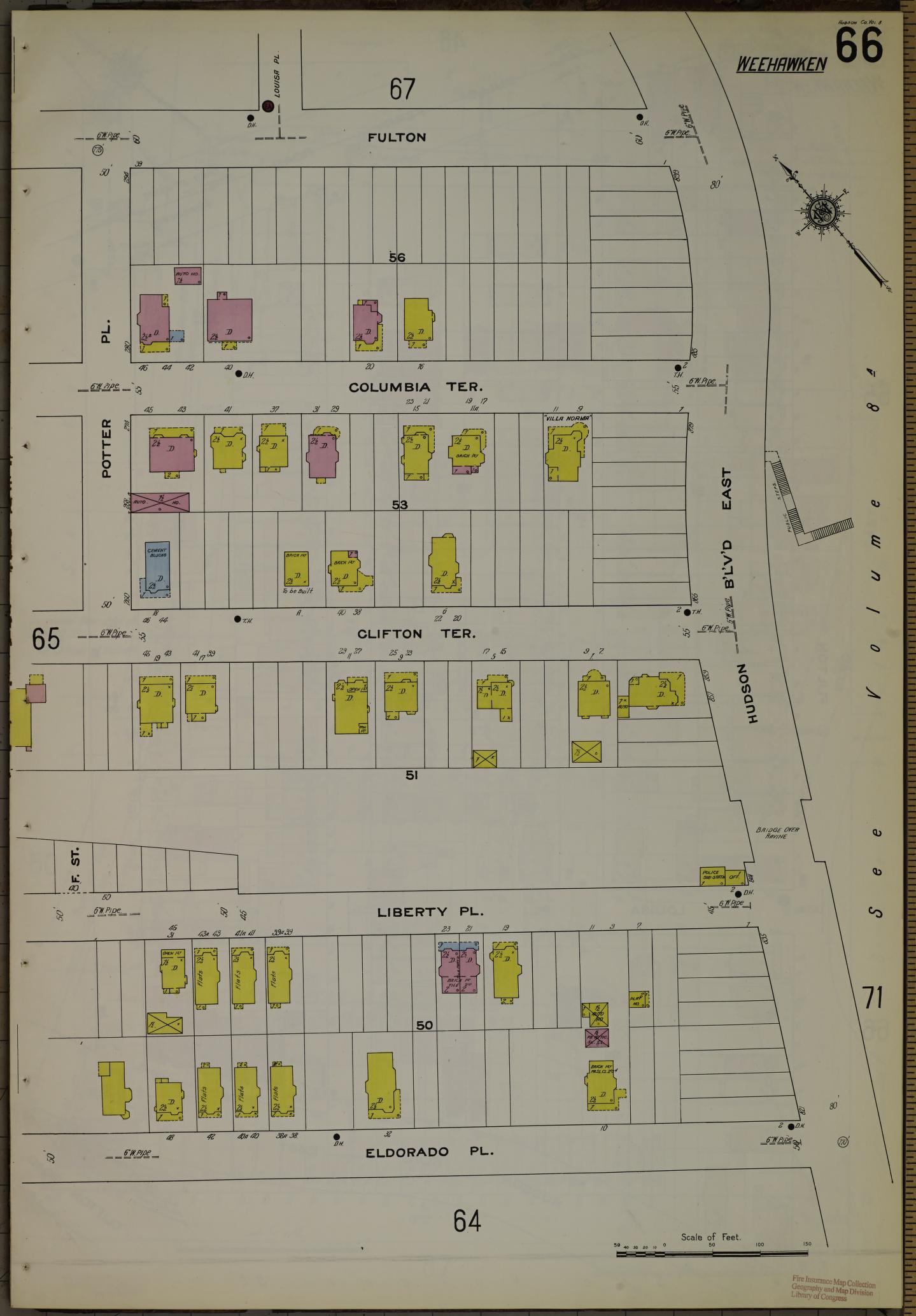
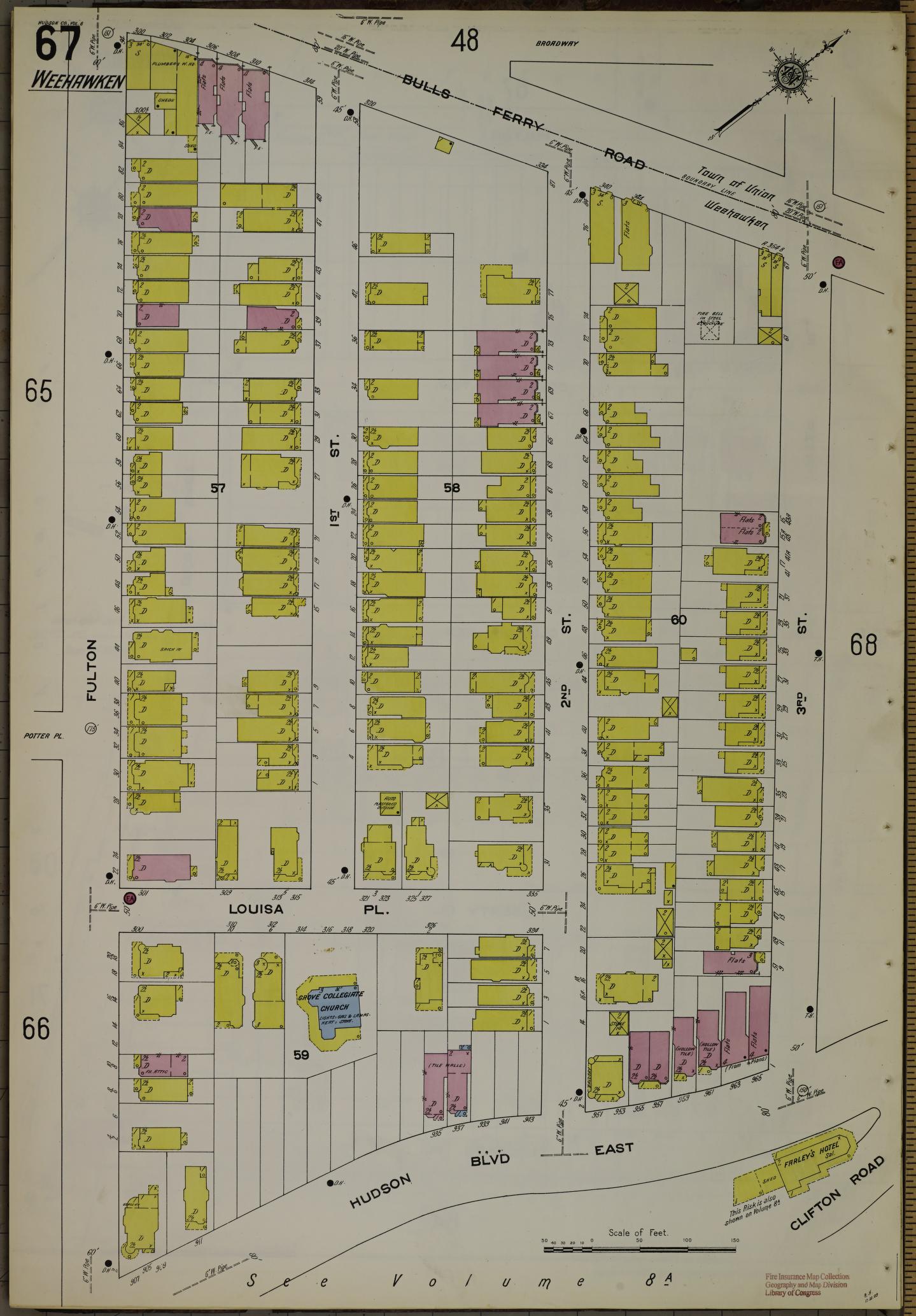
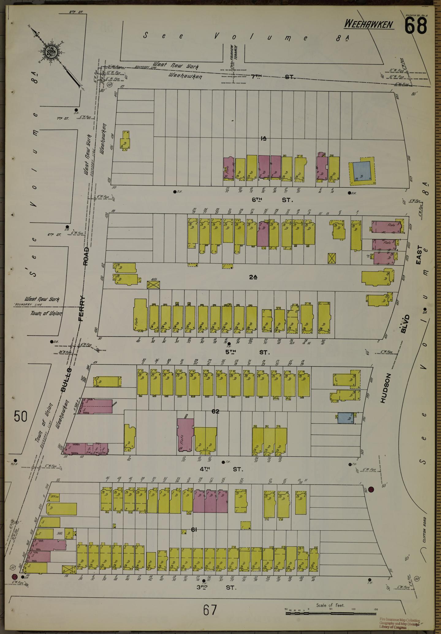
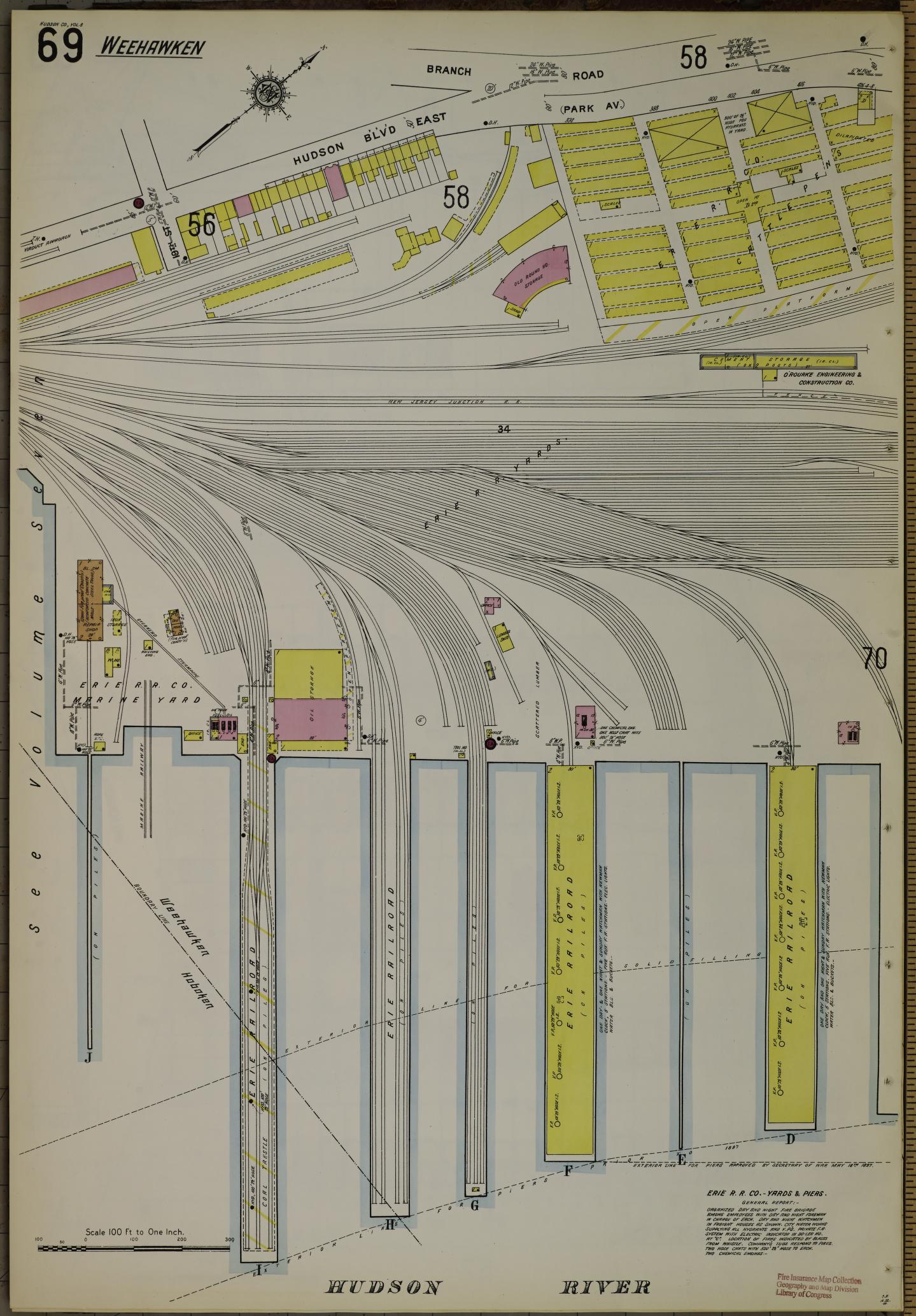
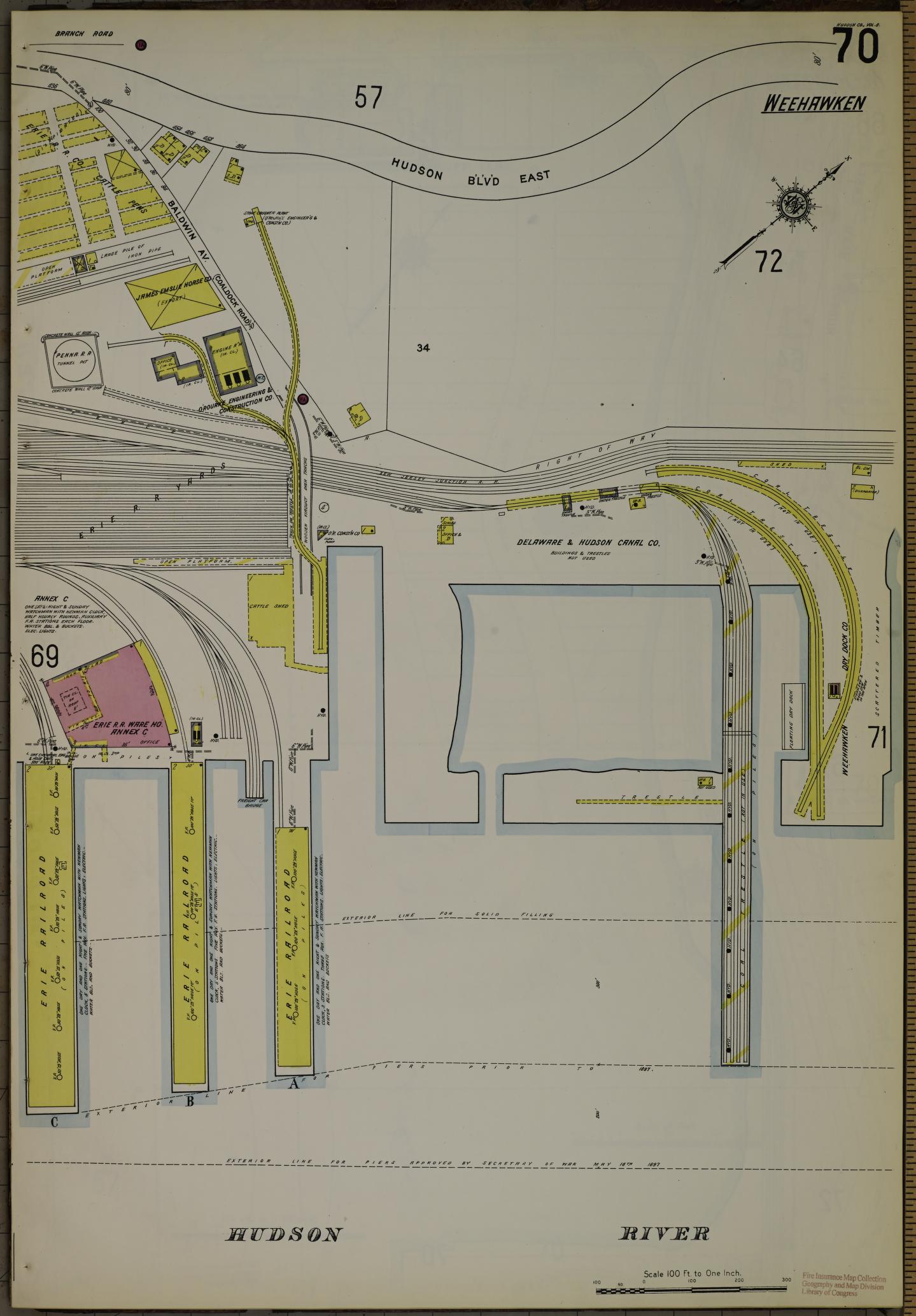
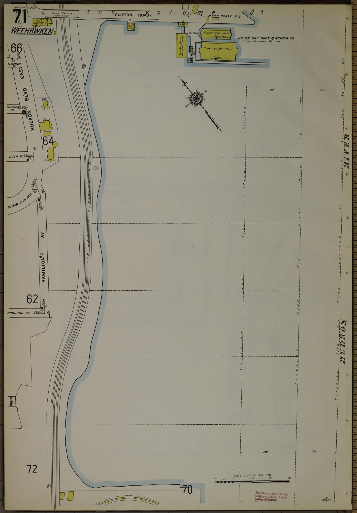
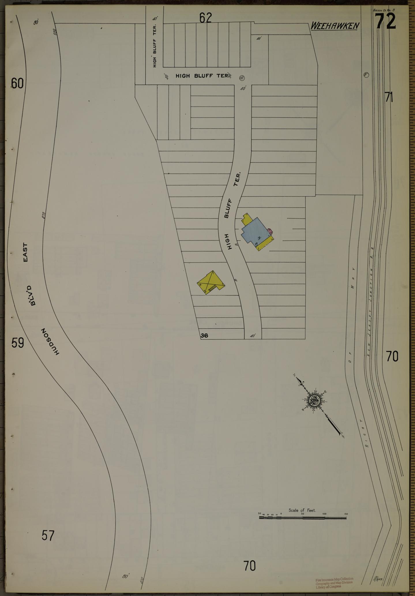
Very detailed maps of Weehawken in 1910 from the Sanborn Map Company. According to the Princeton University website hosting these maps, "The Sanborn Map Company is the oldest mapping company in the United States. Founded in 1866, the company created detailed building maps of cities and towns all across the country, primarily for use by insurance companies. These maps also have been used extensively by local government agencies for over a century in conducting their daily operations efficiently. Approximately 12,000 American cities and towns are chronicled in the company's collection of over one million maps. As a result of its history, the name Sanborn has become synonymous with this kind of map. Genealogists, local history buffs, city planners, architects, and countless others have been drawn to the quality of detail found in them. "
This digital image may be used for educational or scholarly purposes without restriction. Commercial and other uses of the item are prohibited without prior written permission from the Weehawken Historical Commission.