
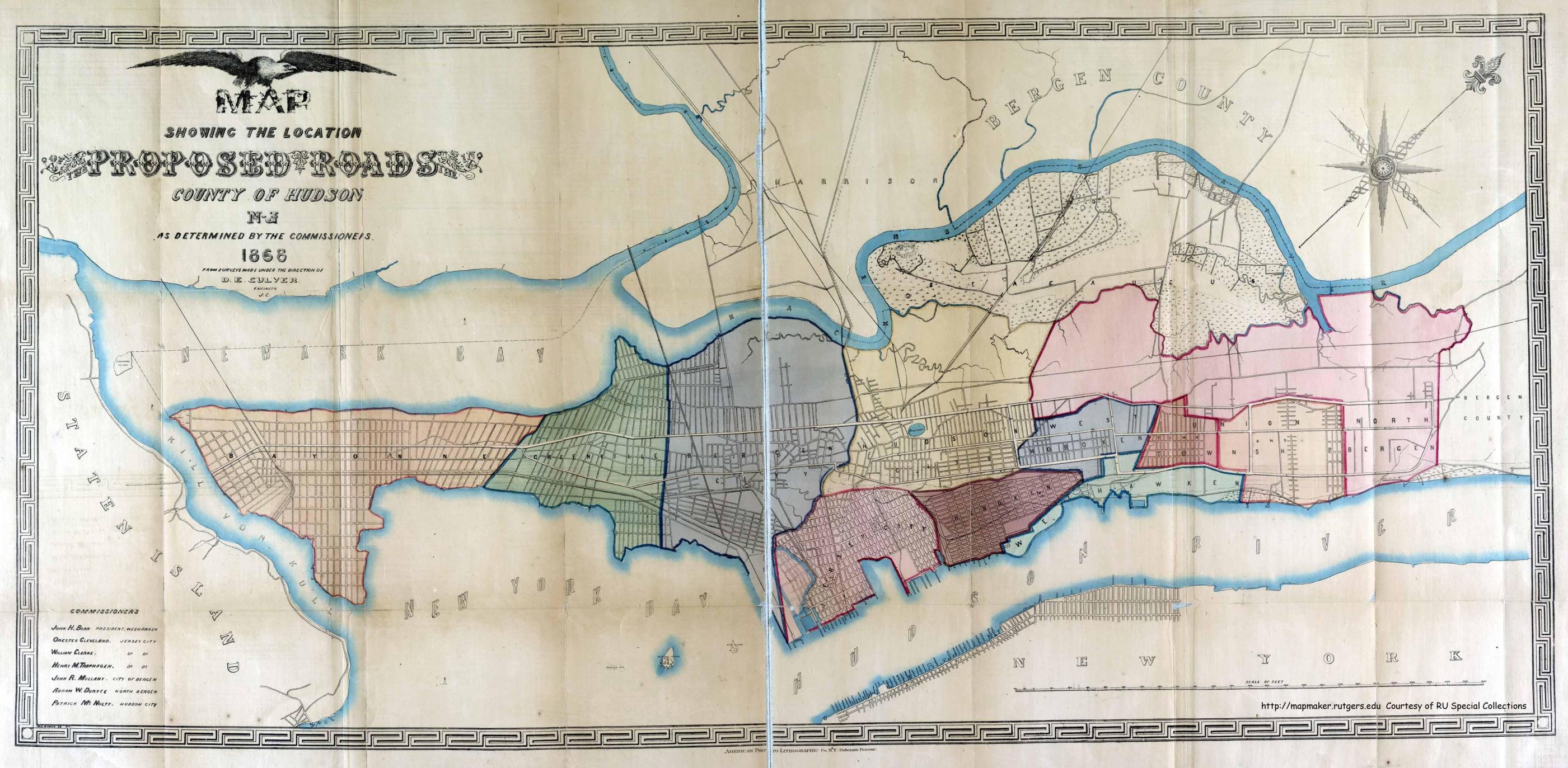
Map of Proposed Roads of Hudson Cty - 1868
Item
- Title
- Map of Proposed Roads of Hudson Cty - 1868
- Description
- This map is titled: Map Showing the Location of the Proposed Roads, County of Hudson, NJ as determined by the Commissioners It is dated 1868 and attributed to surveys made by D.E. Culver of Jersey City. This map resides in the collection of Rutgers University.
- Subject
- WHC88134
- Date
- 1868
- Type
- OT
- Identifier
- WHC88134
- Coverage
- Weehawken, NJ [40.7663711,-74.02537149999999]
- Tag
- Maps
- Rights
- This digital image may be used for educational or scholarly purposes without restriction. Commercial and other uses of the item are prohibited without prior written permission from the Weehawken Historical Commission.
Tags
mapPosition: 1124 (106 views)